Spatial Analysis
ToggleSpatial Analysis
Spatial analysis at Maynooth University uses formal techniques to address the geographic, and topological aspects of the natural and man-made environments.
Our researchers are at the forefront of the mapping and interpretation of complex spatial properties, patterns and processes of social, economic and environmental phenomena. Our work enables the creation of sustainable and inclusive approaches to improve the planning of national and regional infrastructure and align policy responses to human need.
Maynooth University also hosts the All-Island Research Observatory (AIRO), a leading national spatial analysis and mapping unit that provides a suite of mapping and data visualisation toolkits aimed at improving evidence informed planning in Ireland.
Maynooth University is an ideal Host Institution for a Marie Skłodowska Curie Individual Fellowship and this cluster is interested in finding potential applicants. Find a mentor below or contact Spatialanalysis@mu.ie for more information.
At Maynooth University the following Spatial Analysis related programmes are available:
Undergraduate -
Postgraduate -
MA in Society and Space
MSc in Geocomputation
MSc in Geographical Information System & Remote Sensing
MA in Geography
PhD in Spatial Analysis
PhD in Geocomputation
PhD in Geography
Spatial Analysis Software and Tools:
Spatial Analysis researchers at Maynooth University are responsible for the development and hosting of number of key national software and spatial analysis toolkits. Please view the extensive set of resources available by clicking on the links below.
All-Island Research Observatory - Census Mapping Tools, Databoards, OpenData Portals and Other Mapping Tools
R Packages from researchers at the NCG
Geospatial Platforms - Ubipix and Glimpse
IQDA - Anonymisation Tool
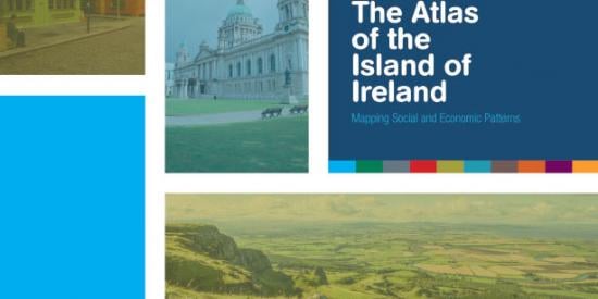
Atlas of the Island of Ireland
The Atlas of the Island of Ireland contains hundreds of socio-economic variables at the Small Area (SA) level. This atlas has been developed under the Evidence-Based Planning theme of the Ireland Northern Ireland Cross-border Cooperation Observatory (INICCO-2) CrosSPlaN-2 funded research programme which responds to the need for sustained support to territorial cooperation in the Irish border region.

Ghost estates in Ireland
Looking at the phenomenon of ghost estates, endemic to every county in Ireland.
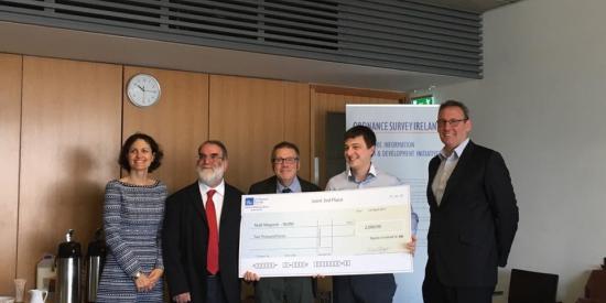
NCG Graduate wins OSI Award
MSC in Geocomputation student has been awarded a prize in this years Ordnance Survey Ireland Research Initiative Masters Awards.
Date: Wednesday, 17 May 2017
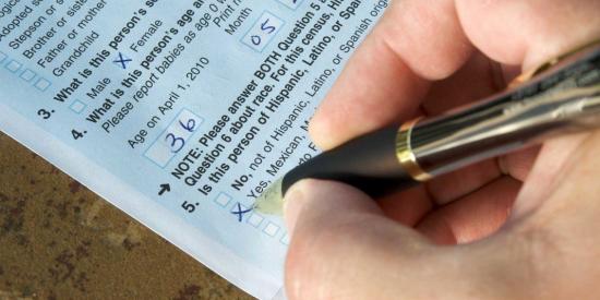
Justin Gleeson speaks on Newstalk about the CSO Census results 2017
On foot of the release of the Census 2016 results, our colleague Justin Gleeson from AIRO speaks on the Newstalk breakfast show about the results and what they mean.
Date: Friday, 07 April 2017