Irish Hydrometric Reference Network (IHRN) for climate monitoring
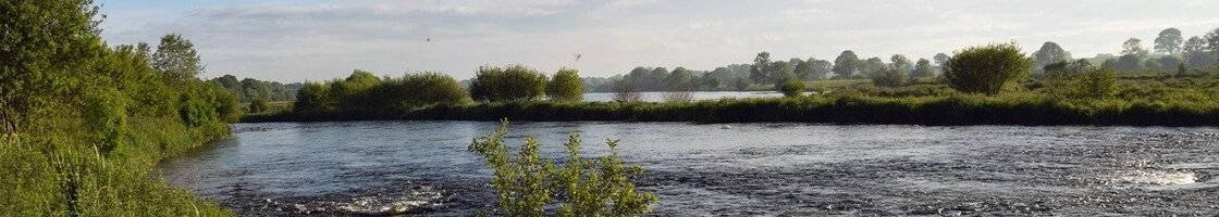
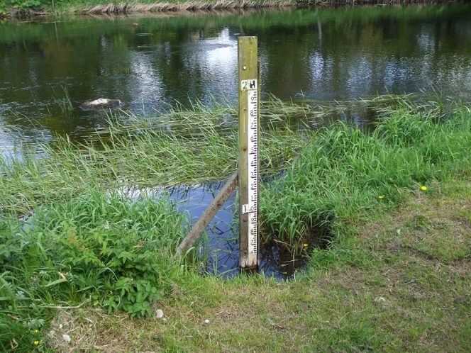
The IHRN project seeks to update/expand upon the Irish hydrometric reference network of hydrometric gauges (incl. river flows, lakes and groundwater), used for monitoring and detecting climate change signals. In close collaboration with hydrometric experts the project will identify long-term, high-quality gauges that are free from confounding factors such as land use change, urbanisation, abstractions, and discharges, which can be used to confidently monitor the response of hydrological systems to climate variability and change. Work will evaluate metadata and data quality, establish criteria for selection of reference type stations based on international literature, appraise approaches for infilling missing data and reconstruction of time series to evaluate the dependence of trends on period of record. Trend analysis will be deployed to detect changes in hydrological indices representing the full range of flow conditions, while signal to noise relationships will be leveraged to identify sentinel sites and indices for which the climate signal is likely to emerge earliest. The project will draw upon and contribute to the international ROBIN project which seeks to develop international reference networks to better understand how climate change is impacting water resources. The IHRN, and its analysis, will provide a critical tool for monitoring water resources across a range of sectors and facilitate delivery of monitoring requirements as part of the Water Framework Directive and climate change adaptation.
The project seeks to:
- Establish criteria for selection of reference hydrometric networks for river flows, lakes and groundwater from the international literature and considering i) catchment development and artificial influences; ii) data quality; iii) record length and iv) missing data and to test approaches.
- Update and expand the current Irish Hydrometric Reference Network to underpin monitoring and evaluation of climate change as part of the Water Framework Directive and reporting on climate change.
- Evaluate the impact of climate variability and change from hydrometric observations by employing catchment descriptors derived by the OPW flood studies update to evaluate different catchment types.
- Identify sentinel sites and indicators which show the earliest emergence of climate change signals from variability (hotspots/early emergence of climate change signals) using projections from CMIP6 for Irish catchments to estimate expected changes.
- Disseminate the results of the study by means of a number of peer reviewed journals publications, national and international presentations, social media interactions and a final project report with findings and generated datasets shared with international reference hydrometric network projects such as ROBIN.
The project is organised around four work packages (WPs) that represent key activities/stages in the research that will enable the realisation of the key objectives:
WP1: Management of project, training and communication.
WP2: Criteria, data review and network selection
WP3: Analysis part 1: Data infilling, flow modelling and indices assessment
WP4: Analysis part 2: Trend analysis and selection of sentinel sites
The project is led by Prof. Conor Murphy and funded by the Environmental Protection Agency of Ireland 2022-NE-1124. Commencing in January 2023, the project will run for two years. Updates on progress and key outputs will be provided regularly.
DISCLAIMER: Although every effort has been made to ensure the accuracy of the material contained in this webpage, complete accuracy cannot be guaranteed. Neither the Environmental Protection Agency nor the authors accept any responsibility whatsoever for loss or damage occasioned or claimed to have been occasioned, in part or in full, as a consequence of any person acting or refraining from acting, as a result of a matter contained in this webpage.