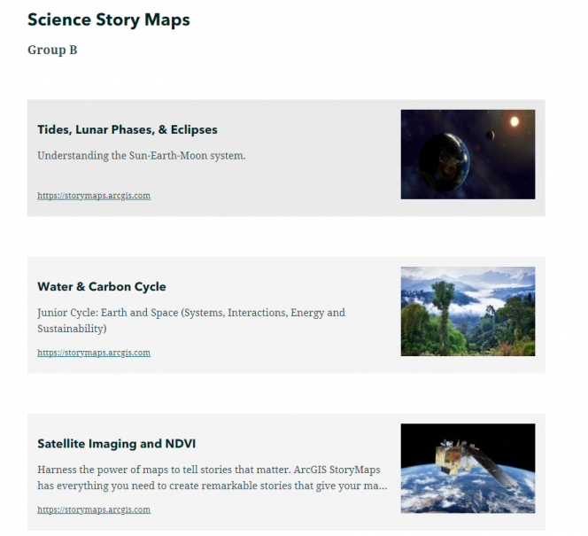
Its been a busy few months for the 5*S team with lots of exciting workshops and STEM school outreach taking place – all with the goal of bringing Copernicus space data to students in the classroom using ArcGIS StoryMaps.
Students and the community: The 5*S team were invited to partner with Maynooth postgraduate students on the MSc in GIS and Remote Sensing for a STEM Outreach initiative from the Department of Geography. The students were first paired with local schools and then developed lesson plans to address specific learning objectives for their class. Each of these included Copernicus data and were tailored to fit the Junior Cert Geography and Science curriculum. The students were supported by the 5*S team over a number of weeks exploring how to translate complex information from the Copernicus space programme for junior cycle students and how to create this online content using WebGIS. A big thank you to the Maynooth Outreach team and Maynooth University Access Programme who helped Geography source schools from around the Maynooth catchment that would not typically benefit from STEM outreach programmes. The students had the added pressure of knowing that they would have to present the work they created to a class of school children and really did excellently - the masters students presented their work to 18 classes and over 450 students, all in one week! Feedback from teachers was very positive.
Teacher workshops: The 5*S team have also been demonstrating how the ArcGIS for Schools programme can benefit teachers in creating interactive StoryMaps and bring a new aspect to the student learning experience. 5*S training introduces teachers to how students can explore space data for themselves and learn about how satellite data allows scientists and geographers to make informed decisions. There has been a lot of interest in these capacity development opportunities – with multiple teacher training workshops taking place since summer 2020. Over a typical 3-hour workshops Jack has shown teachers how to create their own StoryMaps, where to find the data and ultimately how to tie it altogether into a single resource that can be delivered to students.
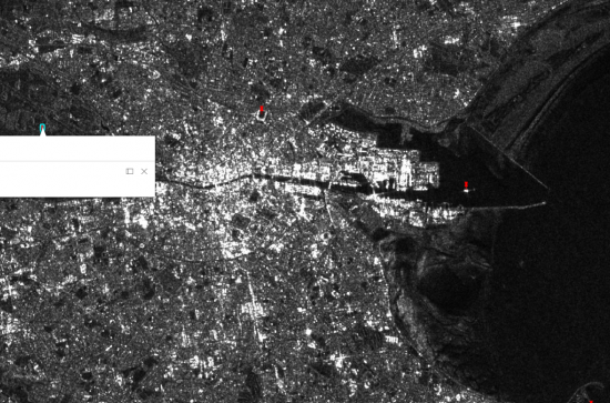
Industry GeoMentors: 5*S also is working to partner industry professionals with local schools for a space outreach session. A very successful full day Copernicus workshop took place in February with 20 industry professionals in attendance. These experienced geomatics surveyors learnt a lot about all the different Copernicus space platforms as well as creating some of their own outputs using the data for themselves in the European Space Agency software package, SNAP. They learnt how to delineate flood waters from Sentinel 1 radar imagery, create land classification maps from Sentinel 2 multispectral images and explore how you can use the Near-InfraRed imagery to assess plant health. These attendees are now enrolled as 5*S GeoMentors and will be partnered with schools around the country for outreach sessions and bring 5*S Copernicus content to Schools.